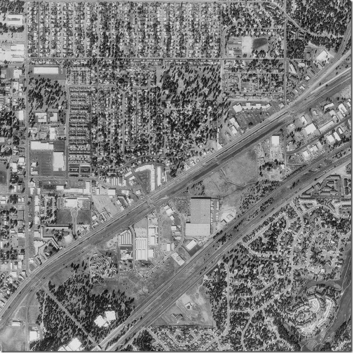
 This is a black and white aerial photo of an area in Kansas. Aerial photos are good for showing actual sizes and distances because it is an actual photo. This photo shows roads, highways, houses, water, buildings, and more.
http://freegeographytools.com/wp-content/uploads/2007/09/doq-thumb.jpg

No comments:
Post a Comment